MT. ULU SEPAT (31 AUGUST 2006 TO 3 SEPTEMBER 2006) PART 1
First of all, I would like to thank Kam Meng on the information on this Ulu Sepat trip and some advice and information given before the trip . This was my first hiking experience to one of the 7th highest summit in Peninsular Malaysia (G7 summit). Initially I was not supposed to be in the team hiking to Mt. Ulu Sepat. Due to some members pulling out approximately 2 weeks before the trip, there were some vacancies. I was informed by Kam Meng on this trip via email 2 days before the hiking trip to Mt. Swettenham on 19 August 2006.
Location: Perak
Height: 2,161 metres (7,091 feet), 7th highest mountain in Peninsular Malaysia and the least climbed G7 summit.
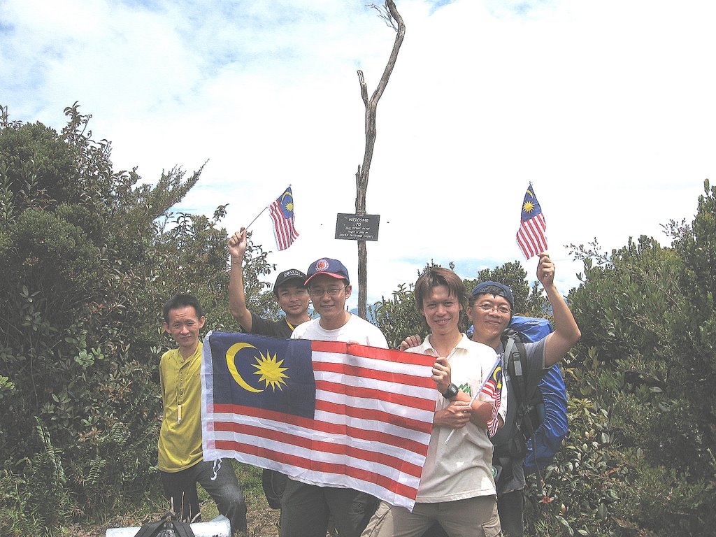
Number of participants: 5
Participants list:
1. Lam Wai Seak (Captain)
2. Ong Siew Chin (Tiger)
3. Jeremy Tan
4. Wong Ken Tat
5. Lim Fang Hau
Equipment:
1. Torch light
2. Gloves
3. Backpack
4. Hiking boots
5. Slippers
6. Whistle
7. Penknife
8. Mess tin
9. Fork & spoon
10. Digital camera
11. Raisin (for extra energy)
12. Solid fuel
13. Clothes for 4 days 3 nights
14. Toiletries
15. Deuter pouch
16. Small knapsack
17. Sleeping mat
18. Sleeping bag
19. Wind breaker
20. Sweater
21. Poncho (rain coat)
22. 500 ml isotonic drink
23. 4 litres of water
24. Extra plastic bags
25. Stationeries
26. First aid kit
27. Flag (Jalur Gemilang)
30 August 2006
Departed from Petaling Jaya at time 2145 hrs for Gerik via the PLUS Expressway. In my mind, I was wondering whether I could reach the G7 summit as this was my first time going to the G7 summit. I was the youngest member and the least experienced hikers among the 5 members. All the 4 members had in the past reached other G7 summit but none of us had reached the Ulu Sepat summit.
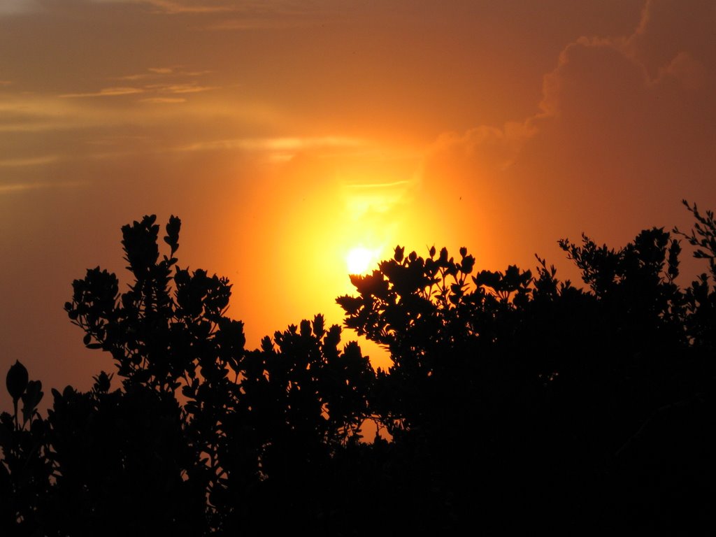
31 August 2006 (National day)
Reached Gerik at time 0105 hrs. Checked in into Rome motel, located next to Maybank, in front of the only traffic light in Gerik. Hap supper at nearby a Malay stall and later bathed. Slept at time 0230 hrs.
Woke up at time 0700 hrs and checked out of Rome motel. Our van driver, Hussien, was waiting for us in front of the motel. Tiger went to the police station to lodge a report but was unable to do so as the officer in charge was not around. We just proceeded without the permit issued by the police.
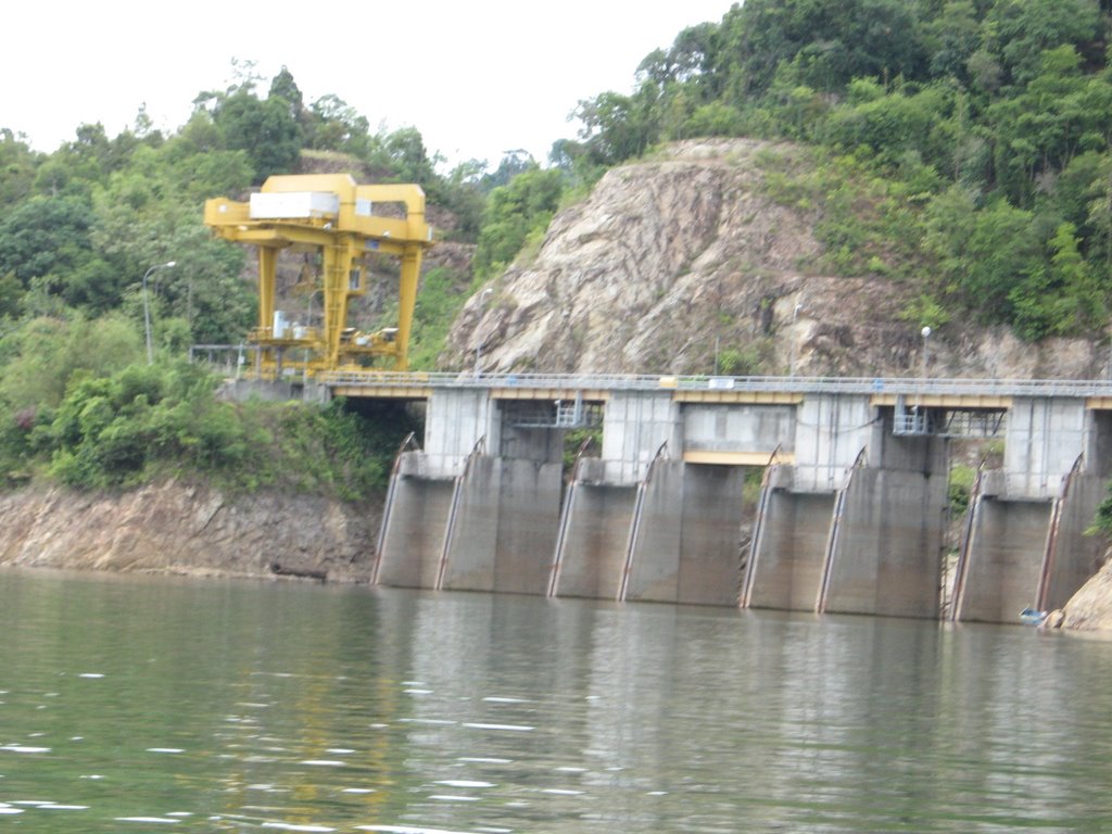
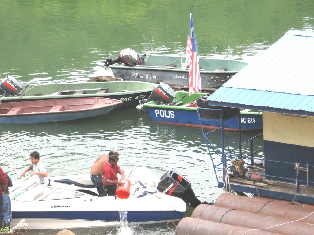
Had our breakfast at a stall located 5 minutes drive from the motel. Packed some Indian vegetarian food for lunch. Reached Hussien’s house to park our car at time 0841 hrs. Later departed from Hussien’s house to Temenggor Lake. Reached Pengkalan Trojan, which is nearby Temenggor Lake at time 0945 hrs. There was a floating police station manned by 3 staff. We managed to lodge a police report before proceeded. We left the jetty at time 1010 hrs by boat to Pos Kemar. At time 1110, we reached Pos Kemar. We had to wait for approximately 1.5 hours for our 4-wheel drive (4WD) vehicle to arrive.
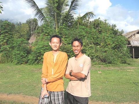
We passed by Kampung Rantau before reaching Kampung Lelar at time 1340hrs. We had our lunch first. We met another group of hikers of 10 from B.P. Guild. They drove all the way by 4WD from Lasah. We unpacked those non-essential items i.e. items required for the last day of the trip at Kampung Lelar. Our guide was Emat, engaged for RM60/- a day and we shall provide him with food and accommodation. I was assigned to carry some food for the first day cooking at the campsite. Other equipment was carried by Emat.
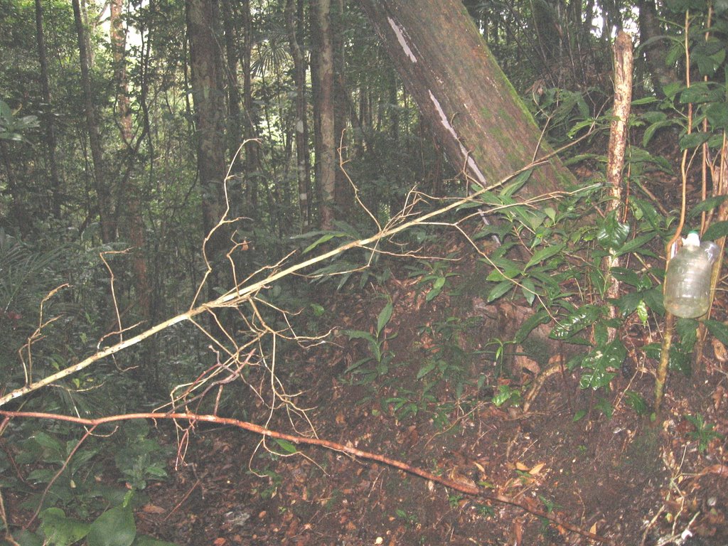
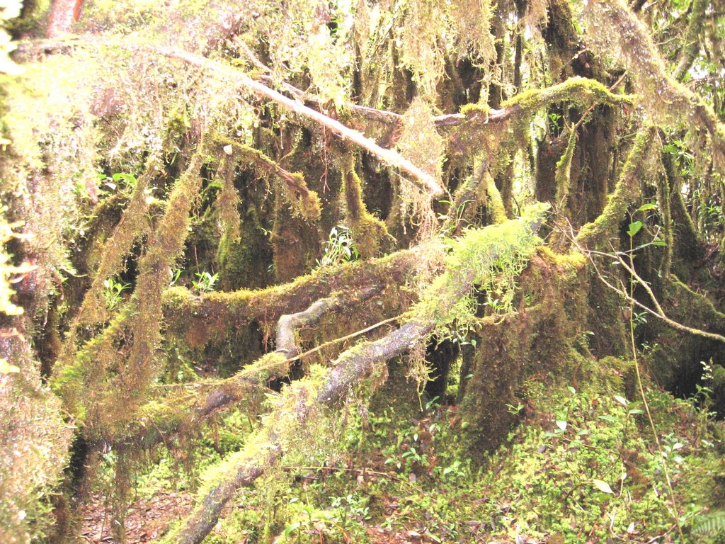
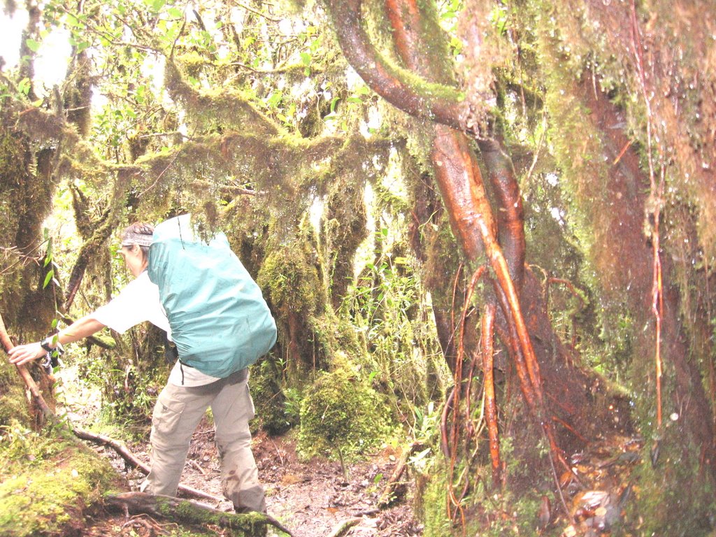
We left Kampung Lelar at time 1400 hrs. Approximately after 15 minutes, we crossed a steam. Approximately 15 minutes later, we crossed a small stream. Later we entered into a big bamboo forest. The route was uphill and down hill with a gradient of around 45 to 50 degrees. Five minutes later, we crossed a narrow bridge. We met up with a member of the B.P. Guild and a guide who was left behind from the main group. We took a short break before continuing our journey. At 1530 hrs, we crossed a small stream. Ten minutes later, we crossed a small narrow bridge. Then, it started to rain heavily. We had to put on our raincoat / poncho. The surface was slippery when raining. The trail at certain path was narrow. I passed by the most dangerous stretch (from my own observation) whereby the path was narrow (can only be crossed by 1 person only) and slippery. I had to lean against the hill slope on my right and hold on to the tree roots and hill slope to cross the slippery stretch. If you are not careful, you may slip down the bamboo forest (approximately 10 metres deep). Our pace was slowed down by heavy rain.
At time 1720 hrs, we crossed a narrow bridge. At time 1740 hrs, we passed by 3 native houses belonging to Emat’s grandparents. At approximately 1800 hrs, we reached the first campsite. It was still raining at that time. We camped overnight near the river. The rain stopped during the night but it was cold at night. The night temperature can drop to 16 degree Celsius. Slept at time 2200 after having some supper.
Stay tune for Part 2 of the report.
Location: Perak
Height: 2,161 metres (7,091 feet), 7th highest mountain in Peninsular Malaysia and the least climbed G7 summit.
Number of participants: 5
Participants list:
1. Lam Wai Seak (Captain)
2. Ong Siew Chin (Tiger)
3. Jeremy Tan
4. Wong Ken Tat
5. Lim Fang Hau
Equipment:
1. Torch light
2. Gloves
3. Backpack
4. Hiking boots
5. Slippers
6. Whistle
7. Penknife
8. Mess tin
9. Fork & spoon
10. Digital camera
11. Raisin (for extra energy)
12. Solid fuel
13. Clothes for 4 days 3 nights
14. Toiletries
15. Deuter pouch
16. Small knapsack
17. Sleeping mat
18. Sleeping bag
19. Wind breaker
20. Sweater
21. Poncho (rain coat)
22. 500 ml isotonic drink
23. 4 litres of water
24. Extra plastic bags
25. Stationeries
26. First aid kit
27. Flag (Jalur Gemilang)
30 August 2006
Departed from Petaling Jaya at time 2145 hrs for Gerik via the PLUS Expressway. In my mind, I was wondering whether I could reach the G7 summit as this was my first time going to the G7 summit. I was the youngest member and the least experienced hikers among the 5 members. All the 4 members had in the past reached other G7 summit but none of us had reached the Ulu Sepat summit.
31 August 2006 (National day)
Reached Gerik at time 0105 hrs. Checked in into Rome motel, located next to Maybank, in front of the only traffic light in Gerik. Hap supper at nearby a Malay stall and later bathed. Slept at time 0230 hrs.
Woke up at time 0700 hrs and checked out of Rome motel. Our van driver, Hussien, was waiting for us in front of the motel. Tiger went to the police station to lodge a report but was unable to do so as the officer in charge was not around. We just proceeded without the permit issued by the police.
Had our breakfast at a stall located 5 minutes drive from the motel. Packed some Indian vegetarian food for lunch. Reached Hussien’s house to park our car at time 0841 hrs. Later departed from Hussien’s house to Temenggor Lake. Reached Pengkalan Trojan, which is nearby Temenggor Lake at time 0945 hrs. There was a floating police station manned by 3 staff. We managed to lodge a police report before proceeded. We left the jetty at time 1010 hrs by boat to Pos Kemar. At time 1110, we reached Pos Kemar. We had to wait for approximately 1.5 hours for our 4-wheel drive (4WD) vehicle to arrive.
We passed by Kampung Rantau before reaching Kampung Lelar at time 1340hrs. We had our lunch first. We met another group of hikers of 10 from B.P. Guild. They drove all the way by 4WD from Lasah. We unpacked those non-essential items i.e. items required for the last day of the trip at Kampung Lelar. Our guide was Emat, engaged for RM60/- a day and we shall provide him with food and accommodation. I was assigned to carry some food for the first day cooking at the campsite. Other equipment was carried by Emat.
We left Kampung Lelar at time 1400 hrs. Approximately after 15 minutes, we crossed a steam. Approximately 15 minutes later, we crossed a small stream. Later we entered into a big bamboo forest. The route was uphill and down hill with a gradient of around 45 to 50 degrees. Five minutes later, we crossed a narrow bridge. We met up with a member of the B.P. Guild and a guide who was left behind from the main group. We took a short break before continuing our journey. At 1530 hrs, we crossed a small stream. Ten minutes later, we crossed a small narrow bridge. Then, it started to rain heavily. We had to put on our raincoat / poncho. The surface was slippery when raining. The trail at certain path was narrow. I passed by the most dangerous stretch (from my own observation) whereby the path was narrow (can only be crossed by 1 person only) and slippery. I had to lean against the hill slope on my right and hold on to the tree roots and hill slope to cross the slippery stretch. If you are not careful, you may slip down the bamboo forest (approximately 10 metres deep). Our pace was slowed down by heavy rain.
At time 1720 hrs, we crossed a narrow bridge. At time 1740 hrs, we passed by 3 native houses belonging to Emat’s grandparents. At approximately 1800 hrs, we reached the first campsite. It was still raining at that time. We camped overnight near the river. The rain stopped during the night but it was cold at night. The night temperature can drop to 16 degree Celsius. Slept at time 2200 after having some supper.
Stay tune for Part 2 of the report.
posted by fhlim at 2:06 am
|
1 comments
![]()
![]()